The 2025 Atlantic hurricane season has officially seen its first hurricane, as Tropical Storm Erin was upgraded to a Category 1 hurricane, according to the National Hurricane Center (NHC).
As of the NHC’s 11 a.m. advisory, Erin was positioned approximately 460 miles east of the Northern Leeward Islands, packing maximum sustained winds of 75 mph and a minimum central pressure of 996 mb. Data from a Hurricane Hunter aircraft confirmed wind speeds had reached hurricane strength, with higher gusts recorded.
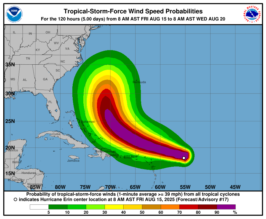
Forecasters expect Erin to strengthen steadily — and possibly rapidly — over the next two to three days. The storm is projected to become a major hurricane by the weekend.
The outer rain bands of Erin are expected to bring periods of heavy rainfall through Sunday to portions of the northern Leeward Islands, the Virgin Islands, and Puerto Rico. Rainfall amounts are forecast to range from 2 to 4 inches, with isolated totals of up to 6 inches possible.
A tropical storm watch is currently in effect for:
Anguilla and Barbuda
St. Martin and St. Barthelemy
Saba and St. Eustatius
Sint Maarten
For the United States, the main near-term threats from Hurricane Erin are rough surf and dangerous rip currents. By the middle of next week, wave heights along parts of Central Florida’s coastline could reach 4 to 6 feet.
Officials urge residents in potentially affected areas to monitor official forecasts and updates from the National Hurricane Center.

Comments